 Historical
Facts about Chartiers Creek . . . Historical
Facts about Chartiers Creek . . .
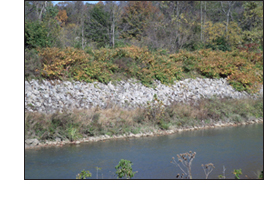
The Chartiers Creek watershed
lies in southwestern Pennsylvania. The main stream of the Chartiers Creek rises in South Franklin Township in southern Washington County. The course of the
stream is northeasterly into Allegheny County where it
empties into the Ohio River just below Pittsburgh. The main stream is 52 miles in length. In their
winding courses through broken and hilly
country Chartiers
Creek and its many tributaries flow through 35
municipalities. At some points precipitous hills 300 to 400
feet high overlook the stream. In other places the creek
opens out into plains a mile wide.
The first settlers came to
the Chartiers Valley before the American Revolution. A grist
mill was established at the junction of Campbell's Run and
Chartiers Creek before the Constitution was adopted. Coal,
oil and gas contributed to the area's industrial
development, and it naturally became the center for the
steel industry. The principal communities on
the main course of the stream are Washington, Canonsburg,
Bridgeville, Heidelberg, Carnegie
and McKees Rocks.
|

